

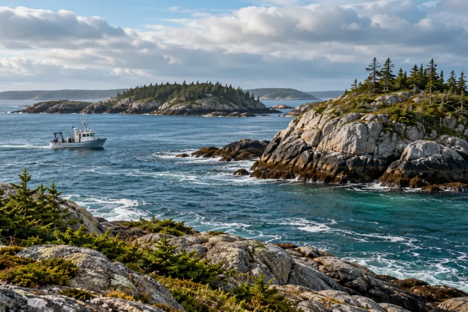
Fishing in a Canadian marine protected area depends on the exact site, zone and activity. Find the official boundary, check the protected-area rules, then verify the current fishery opening and licence conditions for your plan.

Start with the place, not the label
Canada’s marine conservation system includes protected areas established under different laws and managed for different purposes. DFO administers Oceans Act MPAs, while Parks Canada administers national marine conservation areas and reserves. A rockfish conservation area is another kind of fisheries measure. Their names do not make their rules interchangeable.
Some MPAs permit certain fishing in certain zones; others prohibit recreational fishing in the protected sites. Within one area, access, fishing and anchoring may also be governed separately. Ask three questions in order: where is the planned position; which designation and zone cover it; and what does the current rule say about the exact activity? A licence and an open season are additional requirements, not substitutes for that check.
More than one restriction can overlap. A fishery notice may close an area to a species even where an MPA plan describes an activity that can be permitted. A protected-species provision, gear restriction or licence condition may also apply. Find each applicable source and check for changes close to departure, rather than looking for a single reassuring sentence.
Describe your fishing plan precisely
“Fishing” can cover several activities in a site’s documents. A handline, a rod and reel, a trap and a net are different methods. A management plan may name one without authorizing the others. Likewise, a rule on retention does not necessarily answer whether an angler may target or release that species during a closure. Read the actual wording and ask the agency when the distinction is unclear.
Write the trip date and the precise proposed location, then add the intended gear, target species and whether you would keep or release a catch. Use those details to match your plan to a current notice. If you fish from a moving boat, each new location may fall under a different provision. Recheck after changing the plan.
Do not confuse passage through an area with permission to fish there. A document that allows boating does not, by itself, authorize a line or trap in the water. Conversely, a fishing restriction does not necessarily mean all access is prohibited. Look for the rule on each activity instead of interpreting a colour on a map as a complete set of instructions.
Use the source in the right order
- Find the official site page and the current legal boundary or zoning description for the exact place.
- Read what it says about your method and activity, including any exceptions or required authorization.
- Check current fishery openings, licences, species, gear and retention requirements for the same place and date.
- Review applicable visitor notices and clarify uncertainties with the managing authority before departing.
Keep the documents together with their dates and links. A downloaded map can be useful where reception is weak, but check it for updates before relying on it. The examples below are case studies based on official materials reviewed in October 2026; they do not decide the status of a proposed trip.
How to use an official boundary description
A broad online map can tell you that a protected area exists, but the colour of a thumbnail cannot establish where your boat is. Find the site’s current official boundary description and, where available, its zone coordinates. Compare those with a position from a suitable navigation system and the official navigation information for the trip. Understand the coordinate format and datum before copying numbers: a misplaced decimal or a mix of degrees and decimal minutes can move a point far from where you intended.
Save the source and the date you checked it. If the plan involves several fishing locations, identify each position separately rather than assuming the same rule follows you around an island. A chart can assist safe navigation while a legal description defines a restriction; neither replaces the other. The illustration in this article is fictional and cannot be used for either task.
Near a boundary, GPS uncertainty, vessel movement and the extent of deployed gear make a casual glance at a screen an unreliable rule check. Decide on a location you can identify confidently before setting gear. If you cannot reconcile the coordinates or the applicable document, contact the authority; do not let a guidebook sketch settle the question.
Eastport: distinguish the protected sites from their surroundings
In Newfoundland and Labrador, the Eastport Marine Protected Areas comprise two small sites around Round Island and the Duck Islands. DFO’s 2023–2028 management plan distinguishes the MPAs from the wider Eastport Peninsula Lobster Management Area. It describes commercial and recreational fishing as prohibited within the MPAs, while its table treats recreational fishing in the surrounding inner and outer management areas differently.
For a hypothetical groundfish trip, that difference matters before choosing a launch or a route. Identify the two protected sites on the current official descriptions. Then check the separate current recreational groundfish rules, including the opening, any area closure and the applicable daily and possession conditions. A location outside an MPA is not automatically open. The plan’s surrounding-area table is not a substitute for a current fishery notice.
The Eastport example also illustrates a common reading error: an activity plan or exception for research, education, safety or another specified purpose is not a general recreational fishing permit. Read the actual regulation and contact DFO if a particular activity is unclear.
Banc-des-Américains: a zone and method are separate questions
In Québec, the DFO management plan for Banc-des-Américains identifies Zone 1 and Zones 2a and 2b. The plan lists recreational fishing as prohibited in Zone 1 and describes recreational handline fishing or angling in Zones 2a and 2b subject to applicable fisheries requirements. It does not turn every other fishing method, species or date into an open opportunity.
Suppose a boat plans to use a handline at a particular point. First determine which legal zone contains that point; then verify that the current regulation still covers the planned activity. Finally check the fishery’s current opening, species rules and any licence conditions. If the proposed point is in Zone 1, a favourable fishery season elsewhere does not remove the zone restriction. If it is in a different zone, the MPA description alone still does not establish that the fishery is open.
The published plan also distinguishes Indigenous fisheries for food, social and ceremonial purposes and their governing conditions. Recreational examples should not be used to describe or limit Indigenous rights. Consult the relevant governing authorities and arrangements for those fisheries.
Gwaii Haanas: protection and access are different checks
Gwaii Haanas is managed cooperatively by the Haida Nation and the Government of Canada. Parks Canada’s management-plan page says commercial and recreational fishing are prohibited within its marine strict-protection zones. The site has other zones and visitor restrictions, so a single statement about fishing in the broader marine area does not identify the rule at a particular position.
Start with current zone descriptions and coordinates, then check the site’s current visitor bulletins and trip-permit requirements. For a proposed tidal fishing trip, also check the federal tidal licence and current fisheries notices. Parks Canada’s fishing information states that freshwater fishing is not permitted within Gwaii Haanas. Site access, boating, anchoring and fishing can have different conditions; an open route is not evidence of an open fishing location.
A trip operator may help with local logistics, but ask for the exact proposed area and what happens if weather or a closure changes the itinerary. Confirm rules yourself with the responsible authorities, especially if planning to bring personal gear or retain fish.
Read old links and updates carefully
Marine designations and documents can change. DFO’s Endeavour Hydrothermal Vents page notes that the former area’s regulations were repealed when Tang.ɢ̱wan – ḥačxwiqak – Tsig̱is was designated in 2024. The former site is now within the larger protected area and protected under its regulations. An older page about an activity application can remain online even though the governing designation has changed.
When an article, chart layer or search result names an old protected area, follow its update notice to the current designation and regulations. Record both the title and the date of the source you used; saving a document without checking later notices can give a false sense of certainty. A management plan helps explain objectives and examples, while the current law, applicable orders and licence conditions remain the sources to verify for a particular activity.
Prepare a question an agency can answer
If a restriction is unclear, write a short description before contacting the responsible office. Give the intended date, the name of the water, the coordinates and their format, the gear and the target species. Explain whether you plan to retain the catch and whether you are asking about fishing, transit, anchoring or another activity. Attach or cite the official document that prompted the question.
Ask which current regulation, notice or licence condition applies, and keep the answer with your trip notes. If you change the location or method, check whether the answer still applies. An old verbal description of “the usual spot” may omit the detail that changes the result. This approach is useful for a charter client as well: an itinerary can change and the relevant protected area may be different from the one discussed at booking.
Protect habitat while carrying out a lawful trip
Conservation is not only a question of the catch. Plan where gear will be deployed and retrieved, keep loose line and packaging on board, and check what the local rules say about anchoring and contact with the seabed. Sensitive coral, sponge or kelp habitat may be affected by activities other than keeping fish. Never infer from a scenic photograph that a particular seabed is suitable for an anchor.
Wildlife may approach a vessel even when the planned activity is legal. Follow the current marine mammal approach rules for the location and species and give animals room. For a fish that must be returned, use the applicable local handling rules and plan the equipment and depth before fishing. Protected species, fishery closures and habitat protections can apply outside a designated MPA too.
A coordinate-format example
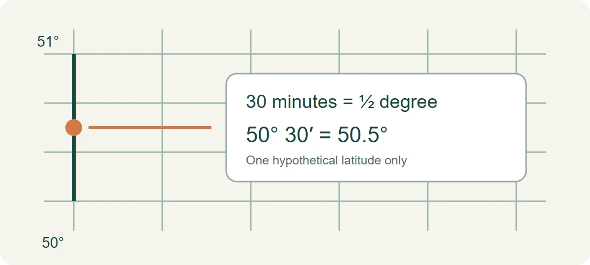
Latitude and longitude may be written in degrees, minutes and seconds, in degrees with decimal minutes, or in decimal degrees. These formats can describe the same position, but their numbers are not interchangeable digit for digit. One degree has 60 minutes, so a hypothetical northern latitude of 50 degrees 30 minutes is 50 + 30/60, or 50.5 degrees north. The drawing shows only that single latitude value.
That example is not a complete location: it has no longitude, datum or boundary, and it is not a navigation instruction. Southern and western coordinates also need the correct hemisphere or sign in the system being used. Use the official source’s stated format, datum and legal wording; if a device displays a different format, consult its documentation and a qualified authority before treating a conversion as a boundary decision.
A correctly transcribed coordinate can still answer the wrong question. For example, an official point might describe one corner of a polygon rather than a place where fishing is open. Read how the points are connected and which zone the rule addresses. A chart plotter or general web map can assist planning but cannot resolve a conflict between a simplified overlay and a current legal description.
Check a plan with a skipper or group
Before paying a deposit or leaving a harbour, ask an operator for the general area of the planned trip, the methods proposed and whether licences and any required authorizations are included. If the trip depends on a seasonal fishery, ask what alternative is offered if the opening changes. An attractive description such as “near a protected area” does not show that the proposed fishing position is open.
Agree who checks current notices and who carries the licence or catch record required for each angler. A charter may supply gear and local knowledge, but its marketing page is not an official boundary map. Ask the relevant authority if the operator’s proposed activity and the current official source appear to differ. Confirm cancellation terms separately with the business; they can change and are not implied by conservation rules.
Keep the answer proportionate to the trip. A day trip to a known harbour may require one location and one fisheries area check, while a multi-day itinerary can cross several jurisdictions and zones. For the latter, make a separate note for each intended fishing location and revisit it when the route changes. If conditions or information do not allow a confident check, choose a different activity or postpone the fishing portion.
Find the right official starting point
Choose the question closest to your trip. The tool supplies a source, not a boundary decision, licence eligibility determination or fishing permission.
Optional equipment after checking your fishing zone
Gear does not substitute for an open fishery or area authorization. Check whether the activity is allowed in your actual zone. Affiliate links: We may earn a commission from qualifying purchases, at no extra cost to you. We have not field-tested these items. Check the selected model, current price and delivery options on Amazon.
For handling hooks with a tool
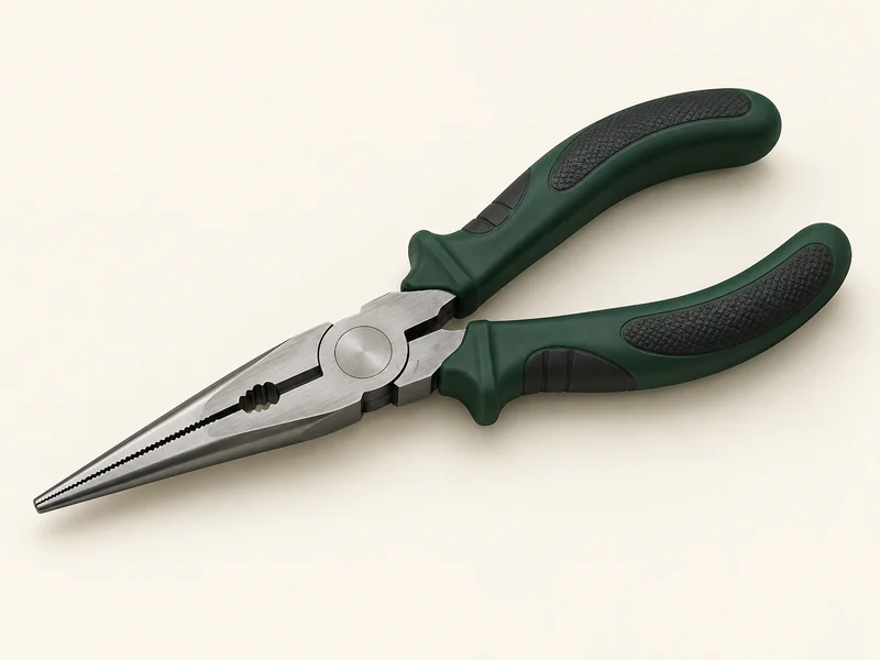
Rapala 8½-inch Fisherman's Pliers
- Longer 8½-inch format for reaching a hook with a tool.
- Nickel-plated carbon steel and co-moulded grips.
- Choose a jaw size that suits the hook and fish; avoid unnecessary handling time.
Choose a size suited to accessible hooks and your fish. For a deeply embedded hook, follow local fish-handling guidance instead of pulling forcefully.
For a compatible line setup
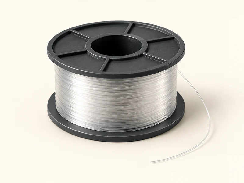
Berkley Trilene XL Monofilament
- Clear 8 lb monofilament in a 330-yard spool.
- Diameter 0.010 inch / 0.25 mm for checking reel capacity.
- Match line strength to the fish, cover and tackle when replacing worn line.
This size is an option for a compatible light freshwater outfit. A lighter size may suit small lures; check the rod, reel and target fish together.
Frequently asked questions
Is all fishing banned in every marine protected area?
No. Site, zone and activity rules differ; check the current official requirements.
Does a fishing licence override an MPA restriction?
No. The licence, protected-area rules and applicable fishery notices must all be considered.
Is a map thumbnail enough to locate a legal boundary?
No. Consult current official boundary descriptions and suitable navigation information, and ask the authority when uncertain.
Do these examples define Indigenous fishing rights?
No. Relevant Indigenous rights and governing arrangements require their own context.
Official sources
- DFO Eastport management plan
- DFO Banc-des-Américains management plan
- Parks Canada Gwaii Haanas management plan
- Gwaii Haanas fishing information
- Gwaii Haanas current bulletins
- DFO update on former Endeavour protected area
Sources reviewed October 2026. Check the current law, boundaries and notices for your own trip. For more planning context, see our B.C. fishing rules guide and beginner fishing guide.