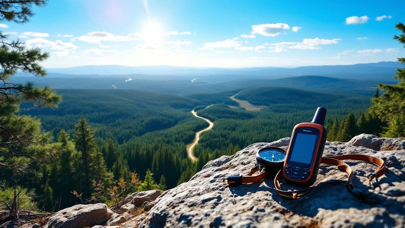
Navigating the great outdoors can be both thrilling and challenging.
With the right tools, such as GPS devices and traditional maps, adventurers can explore new terrains with confidence.
This article will guide you through the essentials of using these tools effectively, ensuring your scouting adventures are safe and enjoyable.
Key Takeaways about Using Maps and GPS for Scouting
- Choose a GPS device that suits your needs and budget; some are more advanced than others.
- Even in a tech-driven world, paper maps are vital for backup and reliability.
- Using GPS and maps together enhances navigation skills and ensures safety.
- Smartphone apps can be helpful, but they may not always work in remote areas.
- Practice orienteering skills to navigate effectively without relying solely on technology.
Choosing the Right GPS for Your Scouting Adventures
When it comes to picking the right GPS for our scouting trips, we need to consider a few key factors.
The right GPS can make all the difference in our adventures, especially when we’re off the beaten path. Here’s what we should keep in mind:
Understanding GPS Features
- Accuracy: Look for units that use WAAS for better precision.
- Durability: A rugged design is essential for outdoor use.
- Battery Life: Longer battery life means less worry about running out of juice.
Comparing Popular GPS Models
| Model | Accuracy (meters) | Battery Life (hours) | Price Range |
|---|---|---|---|
| Garmin GPSMAP 66st | 3 | 16 | $$$$ |
| Garmin eTrex 10 | 10 | 20 | $$ |
| Garmin Montana 700 | 5 | 18 | $$$ |
Budget-Friendly GPS Options
- Garmin eTrex 10: Great for beginners, simple and effective.
- Magellan TRX7: Good features without breaking the bank.
- Smartphone Apps: Many free or low-cost options can work in a pinch, but they may not be as reliable as dedicated devices.
Remember, no GPS can replace our basic navigation skills. It’s all about using the right tools for the right situations!
Why Maps Are Still Essential in the Age of GPS
The Reliability of Paper Maps
Even in our tech-savvy world, paper maps are still a must-have.
They don’t run out of batteries, and they won’t break if we drop them. Plus, they give us a broader view of the area, which is super helpful when we’re out exploring.
Complementing GPS with Maps
Using GPS is great, but it’s even better when we pair it with a map. Here’s why:
- Backup: If our GPS fails, we can still navigate with a map.
- Context: Maps show us the bigger picture, like terrain and landmarks.
- Skill Building: Using maps helps us improve our navigation skills.
Situations Where Maps Outshine GPS
There are times when maps really shine over GPS:
- Dense Forests: GPS signals can get lost among the trees.
- Remote Areas: In places with no cell service, maps are our best friend.
- Battery Life: When our devices are low on power, maps don’t need charging.
In the wilderness, it’s all about being prepared. Having a map can save us when technology fails.
So, while GPS is a fantastic tool, we should never underestimate the power of a good old-fashioned map!
Using GPS and Maps Together for Optimal Navigation
When we head out into the wild, combining GPS and maps can really boost our navigation game.
Using both tools together helps us stay on track and find our way back home. Here’s how we can make the most of them:
Marking Waypoints with GPS
- Pinpoint our location: GPS allows us to mark specific spots, like campsites or water sources.
- Track our route: We can see where we’ve been and avoid going in circles.
- Save time: No need to stop and pull out a map every few minutes.
Plotting Routes on Maps
- Visualize the terrain: Maps give us a broader view of the area, showing trails, rivers, and elevation changes.
- Plan ahead: We can mark our intended route before we even start hiking.
- Identify landmarks: Knowing what to look for can help us navigate better.
Synchronizing GPS Data with Maps
- Combine strengths: We can use GPS to confirm our location on the map, ensuring we’re on the right path.
- Adjust routes: If we encounter obstacles, we can quickly change our plans using both tools.
- Stay prepared: Having both options means we’re ready for anything, whether it’s a dead battery or a lost signal.
Using a map and compass is the most accurate way to navigate in the wilderness. This is because there is absolutely no need for landmarks if you know your coordinates.
By blending the precision of GPS with the reliability of maps, we can tackle any adventure with confidence!
Top GPS Apps for Smartphone Users
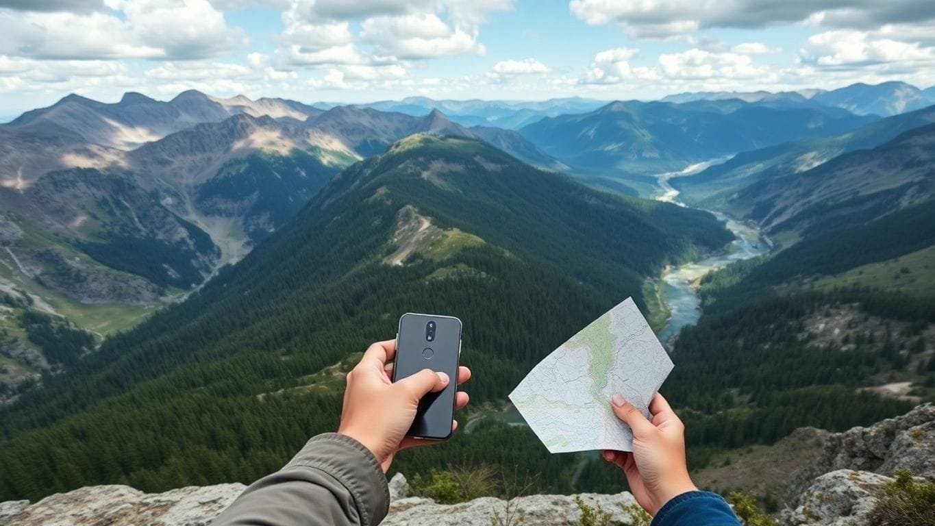
When we hit the trails, having the right tools can make all the difference. Smartphone GPS apps have come a long way, and they can be super handy for our outdoor adventures.
Here’s a quick look at some of the best options out there!
Best GPS Apps for Hiking
- Gaia GPS: This app is a favorite among hikers. It offers detailed topographic maps and allows us to track our routes easily.
- AllTrails: Perfect for finding trails, AllTrails provides user-generated reviews and photos, helping us choose the best paths.
- Caltopo: This app is great for planning our routes with custom maps and layers.
Offline Maps and GPS Apps
When we venture into areas without cell service, offline maps are a must. Here are some apps that let us download maps ahead of time:
- Avenza Maps: Allows us to use maps without a data connection.
- Gaia GPS: Also supports offline maps, making it a versatile choice.
- Topo Maps: Offers detailed topographic maps that we can access offline.
Pros and Cons of Smartphone GPS
| Pros | Cons |
|---|---|
| Convenient and portable | Battery life can drain quickly |
| Often free or low-cost | May lose signal in dense areas |
| User-friendly interfaces | Less accurate than dedicated GPS |
Remember, while smartphone apps are great, they shouldn’t replace a good old-fashioned map and compass. They’re our backup when technology fails!
In conclusion, having the right GPS app can enhance our outdoor experiences. Whether we’re hiking, camping, or just exploring, these tools help us navigate the wilderness with confidence!
Mastering Orienteering Skills for Wilderness Navigation
When we think about navigating the great outdoors, orienteering skills are a must!
It’s not just about having a GPS; it’s about knowing how to use a map and compass effectively. Here’s how we can get started:
Basics of Orienteering
- Understanding the Map: Maps show us the terrain, trails, and landmarks. We need to learn how to read them.
- Using a Compass: A compass helps us find our direction. It’s essential to know how to take a bearing.
- Combining Tools: Using both a map and compass together gives us a better chance of staying on track.
Using a Compass with Maps
- Aligning the Map: We should start by aligning our map with the terrain. This helps us see where we are.
- Taking Bearings: We can use the compass to take bearings on landmarks. This tells us which direction to go.
- Adjusting for Declination: Remember to adjust for magnetic declination, which can affect our readings.
Practicing Orienteering Techniques
- Find a Local Trail: Let’s practice on a familiar trail first. It’s easier to learn when we know the area.
- Use Dead Reckoning: This technique helps us estimate our position based on speed and direction. It’s great for when we can’t see landmarks.
- Safety First: Always have a plan! Make sure someone knows where we are going and when we’ll be back.
Mastering orienteering is about combining map reading, compass use, and being aware of our surroundings.
By practicing these skills, we can confidently navigate the wilderness, even when technology fails us. Let’s get out there and explore!
Safety Tips for Backcountry Navigation
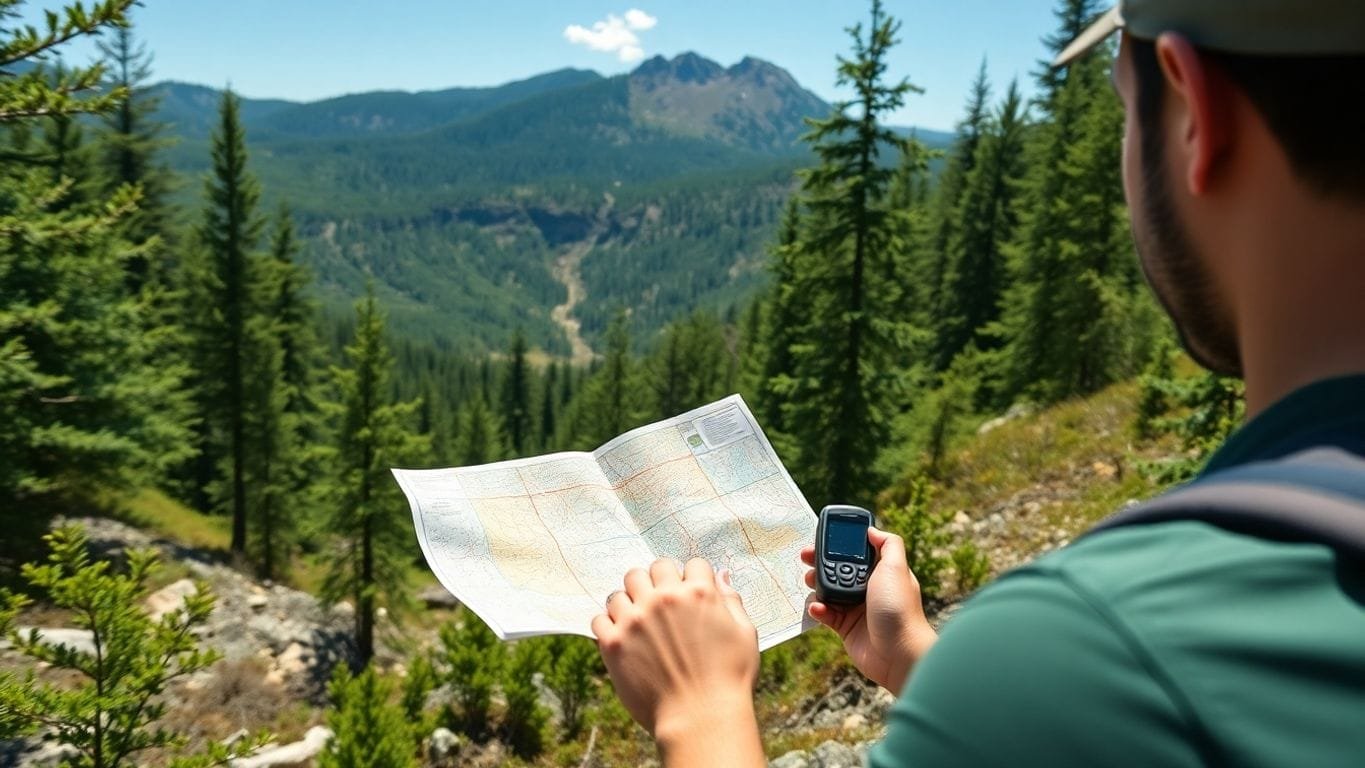
When we head out into the wild, safety should always be our top priority. Here are some essential tips to keep in mind:
Preparing for Your Trip
- Always let someone know where you are going and when you plan to return. This is crucial for your safety. If something goes wrong, someone will know to look for you.
- Check the weather forecast and trail conditions before you leave. This helps us avoid unexpected surprises.
- Make sure to pack enough food and water for the trip, plus a little extra just in case.
Essential Gear for Navigation
- Bring a reliable map and compass, even if you have a GPS. Maps don’t run out of batteries!
- Carry a lighter or waterproof matches, along with firestarter plugs. This way, we can stay warm and cook food if needed.
- Always have a first aid kit handy. Accidents can happen, and it’s better to be prepared.
Emergency Protocols and Communication
- If you get lost, stay calm. Panic can lead to poor decisions. Try to retrace your steps or find a safe spot to wait for help.
- Use a whistle or signal mirror to attract attention if you need help. These are lightweight and can be lifesavers.
- Make sure your phone is charged and consider bringing a portable charger. It can be a great tool for navigation and communication.
Remember, preparation is key! A little planning can make a big difference in keeping us safe while exploring the backcountry.
Advanced GPS Techniques for Experienced Scouts
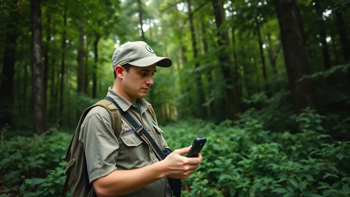
When we venture into the wild, having a solid grasp of advanced GPS techniques can really make a difference.
These skills can elevate our navigation game, especially in tricky terrains.
Using GPS in Challenging Terrains
Navigating through tough landscapes can be a real challenge. Here are some tips to keep in mind:
- Know your device: Familiarize yourself with your GPS features, especially those that enhance accuracy in difficult conditions.
- Use multiple satellite systems: Devices that access GLONASS, GPS, and Galileo can provide better reception.
- Stay aware of your surroundings: Even with a GPS, always keep an eye on the terrain and landmarks.
Customizing GPS Settings
To get the most out of our GPS, we can tweak some settings:
- Adjust the map display: Change the view to suit your needs, whether it’s topographic or satellite.
- Set up alerts: Use waypoints and alerts for important locations or changes in elevation.
- Battery management: Optimize settings to extend battery life, especially on long trips.
Integrating GPS with Other Devices
Combining our GPS with other tech can enhance our experience:
- Smartphones: Use apps for additional features like offline maps.
- Wearable devices: Sync with smartwatches for quick access to navigation data.
- Satellite messengers: These can be lifesavers in emergencies, allowing us to communicate even when out of cell range.
Mastering these advanced techniques not only boosts our confidence but also ensures we can tackle any adventure head-on.
By honing these skills, we can navigate with ease and enjoy our scouting adventures even more!
The Role of Satellite Imagery in Modern Navigation
When we think about navigating the great outdoors, satellite imagery plays a huge role in how we plan our adventures.
It’s like having a bird’s-eye view of the terrain!
Here’s how we can make the most of it:
Accessing Satellite Imagery
- Free Resources: Programs like the US National Agricultural Imagery Program (NAIP) provide high-quality satellite images for the entire continental U.S. This means we can scout our routes without spending a dime!
- Paid Options: Sometimes, we might want to buy specific satellite images for detailed planning, but often, free options are more than enough.
Using Satellite Images for Route Planning
- Planning Routes: We can use tools like Google Earth to visualize our routes and then send those files to our GPS devices. This makes it easier to navigate tricky areas.
- Combining with GPS: Some GPS units, like the Garmin GPSMAP 66st, come with subscriptions to satellite imagery databases, which can be downloaded for offline use.
Limitations of Satellite Imagery
- Visibility Issues: Satellite images can be hard to see on smaller GPS screens, especially in the backcountry where we might not need them as much.
- Dependence on Technology: While satellite imagery is helpful, it’s important to remember that it can’t replace basic navigation skills. We should always carry a map and compass as backups.
In the wilderness, having a mix of technology and traditional skills is key to staying safe and finding our way.
By understanding how to access and use satellite imagery, we can enhance our navigation skills and make our scouting adventures even more enjoyable!
Real-Life Scenarios: GPS and Map Success Stories
Navigating in Extreme Weather
When we found ourselves hiking in a snowstorm in the Rockies, we were grateful for our trusty GPS.
It helped us stay on track when visibility dropped to almost zero. We marked our waypoints and made sure to check our maps regularly.
Here’s what we learned:
- Always have a backup map.
- Use GPS to track your route.
- Stay aware of your surroundings.
Finding Your Way in Dense Forests
In the thick forests of the Pacific Northwest, we often lost sight of trails.
Our GPS was a lifesaver, but we also relied on paper maps to get a broader view of the area.
We discovered that:
- GPS can pinpoint your location, but maps give context.
- Combining both tools is key to successful navigation.
- Always download maps before heading out.
Overcoming GPS Signal Loss
During a hike in a canyon, our GPS signal dropped. Thankfully, we had our paper maps handy. We quickly plotted our position and found our way back.
Here’s a quick tip:
- Always carry a physical map as a backup.
- Familiarize yourself with the area before you go.
- Practice using both GPS and maps together.
In the wilderness, technology can fail, but our skills and preparation will always guide us home.
By sharing these experiences, we hope to inspire others to embrace both GPS and traditional maps for their adventures!
Maintaining and Updating Your GPS Device
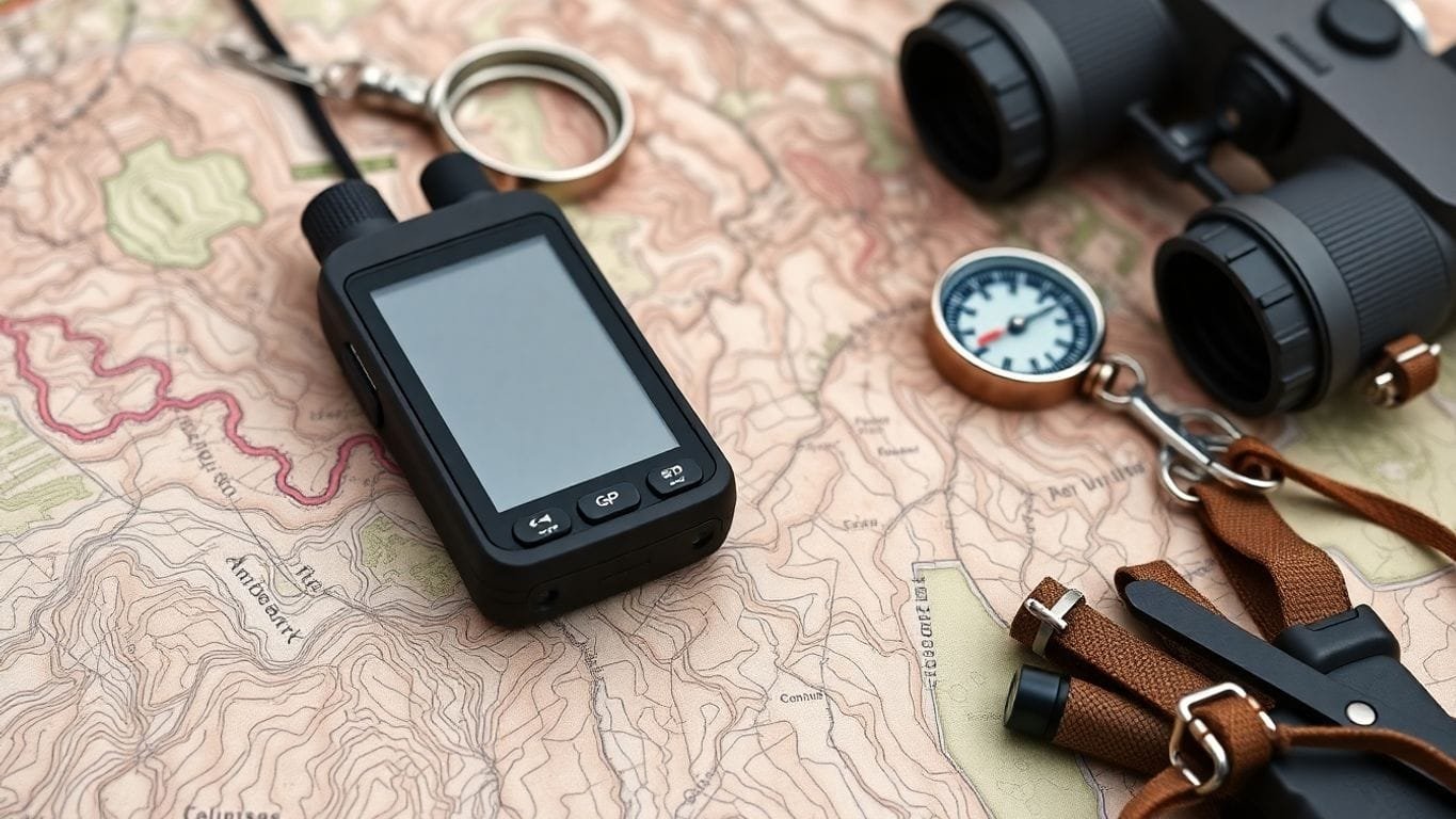
Keeping our GPS devices in top shape is crucial for our adventures.
Regular maintenance can save us from getting lost!
Here’s how we can ensure our devices are always ready to go:
Regular Software Updates
- Check for updates every few months.
- Updates can improve performance and add new features.
- Follow the manufacturer’s instructions for updating.
Calibrating Your GPS
- Calibration helps improve accuracy.
- We should recalibrate if we notice any discrepancies in our location.
- Most devices have a simple calibration process in the settings.
Troubleshooting Common Issues
- If our GPS isn’t connecting, try restarting it.
- Check the battery; a low battery can cause issues.
- Refer to the user manual for specific troubleshooting steps.
Remember, a well-maintained GPS is our best friend in the wild. It helps us navigate safely and confidently.
By following these steps, we can keep our GPS devices functioning well, ensuring we’re always ready for our next adventure!
Environmental Considerations When Using GPS
When we head out into the wild, it’s super important to think about how our tech affects the environment.
Using GPS responsibly can help us enjoy nature while protecting it.
Here are some key points to keep in mind:
Minimizing Environmental Impact
- Stay on Trails: This helps prevent soil erosion and protects plant life.
- Limit Noise: Keep the volume down on devices to avoid disturbing wildlife.
- Pack Out Trash: Always take your waste with you to keep nature clean.
Respecting Wildlife Habitats
- Observe from a Distance: Use your GPS to find spots where you can watch animals without getting too close.
- Avoid Nesting Areas: Steer clear of places where animals are nesting or breeding.
- Follow Local Guidelines: Each area has its own rules for wildlife protection, so be sure to check them out.
Leave No Trace Principles
- Plan Ahead: Know the area and what to expect.
- Travel Light: Bring only what you need to reduce your footprint.
- Be Careful with Fires: If allowed, make sure to follow fire safety rules to prevent wildfires.
Remember, our adventures should leave nature just as we found it. By being mindful of our impact, we can enjoy the great outdoors while keeping it beautiful for future explorers!
Wrapping It Up: Your Adventure Awaits
Mastering the wilderness with maps and GPS is all about being prepared and knowing your tools.
Whether you’re using a fancy GPS or just your smartphone, it’s super important to have a backup plan, like a good old map and compass.
Remember, technology can fail, but your skills won’t!
So, practice your navigation techniques, stay aware of your surroundings, and always let someone know your plans before heading out.
With the right gear and a little bit of practice, you’ll be ready to tackle any adventure that comes your way.
Happy exploring!
Frequently Asked Questions
What should I look for when choosing a GPS device for hiking?
When picking a GPS for hiking, consider features like battery life, screen size, and whether it works well in tough weather. Some GPS devices are better for rough areas than others.
Can I rely solely on my smartphone for navigation?
While smartphones can be helpful, their GPS might not work well in remote areas. It’s a good idea to have a map and compass as backups.
Are paper maps still useful?
Yes! Paper maps don’t need batteries and can be very reliable, especially when GPS signals are weak or lost.
How do I mark important locations with my GPS?
You can mark waypoints on your GPS to remember important spots, like campsites or trailheads, which helps you find your way back.
What are some good GPS apps for my phone?
Apps like Gaia and Avenza are great for hiking. They can show your location and help you navigate even without a cell signal.
How can I stay safe while navigating in the wilderness?
Always plan your trip carefully, check the weather, bring the right gear, and let someone know your plans and when to expect you back.
What if my GPS stops working?
If your GPS fails, use skills like dead reckoning, which involves estimating your position based on your last known location and direction.
How often should I update my GPS device?
It’s best to update your GPS software regularly to ensure you have the latest maps and features, which can improve navigation accuracy.

